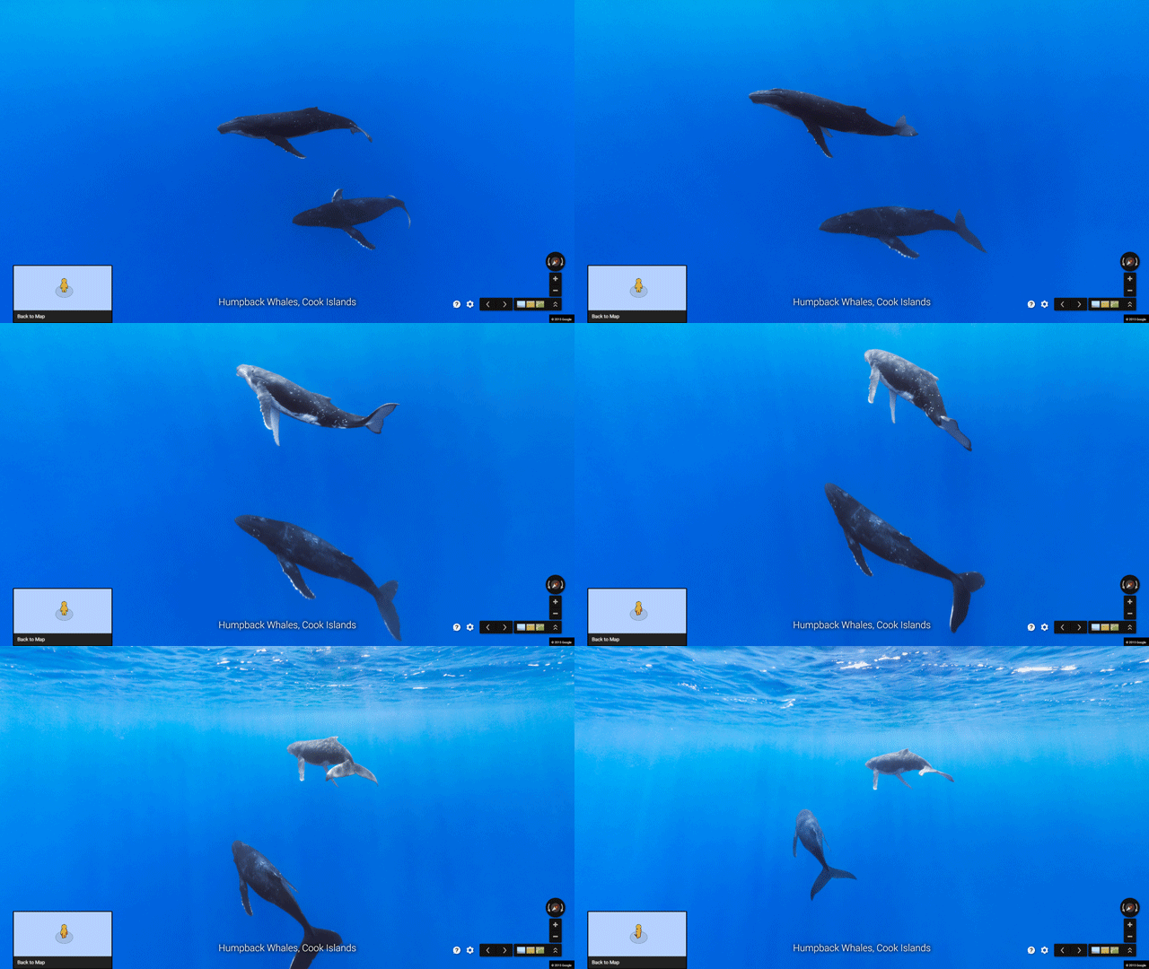
Google Street View takes you virtually into the ocean!
Posted by

 KrishKT
–
 KrishKT
–

Google recently added Street View imagery from more than 40 locations around the world, many of which are underwater.

Each image in Google Maps is a GPS-located digital record of these underwater and coastal environments, which can be used as a baseline to monitor change over time.
Want to do a deep dive now --> navigate here...
*

Each image in Google Maps is a GPS-located digital record of these underwater and coastal environments, which can be used as a baseline to monitor change over time.
Want to do a deep dive now --> navigate here...
*
| Free forum by Nabble | Edit this page |